
ÇAKÜ Introduces Young Students to GPS and GIS Technologies
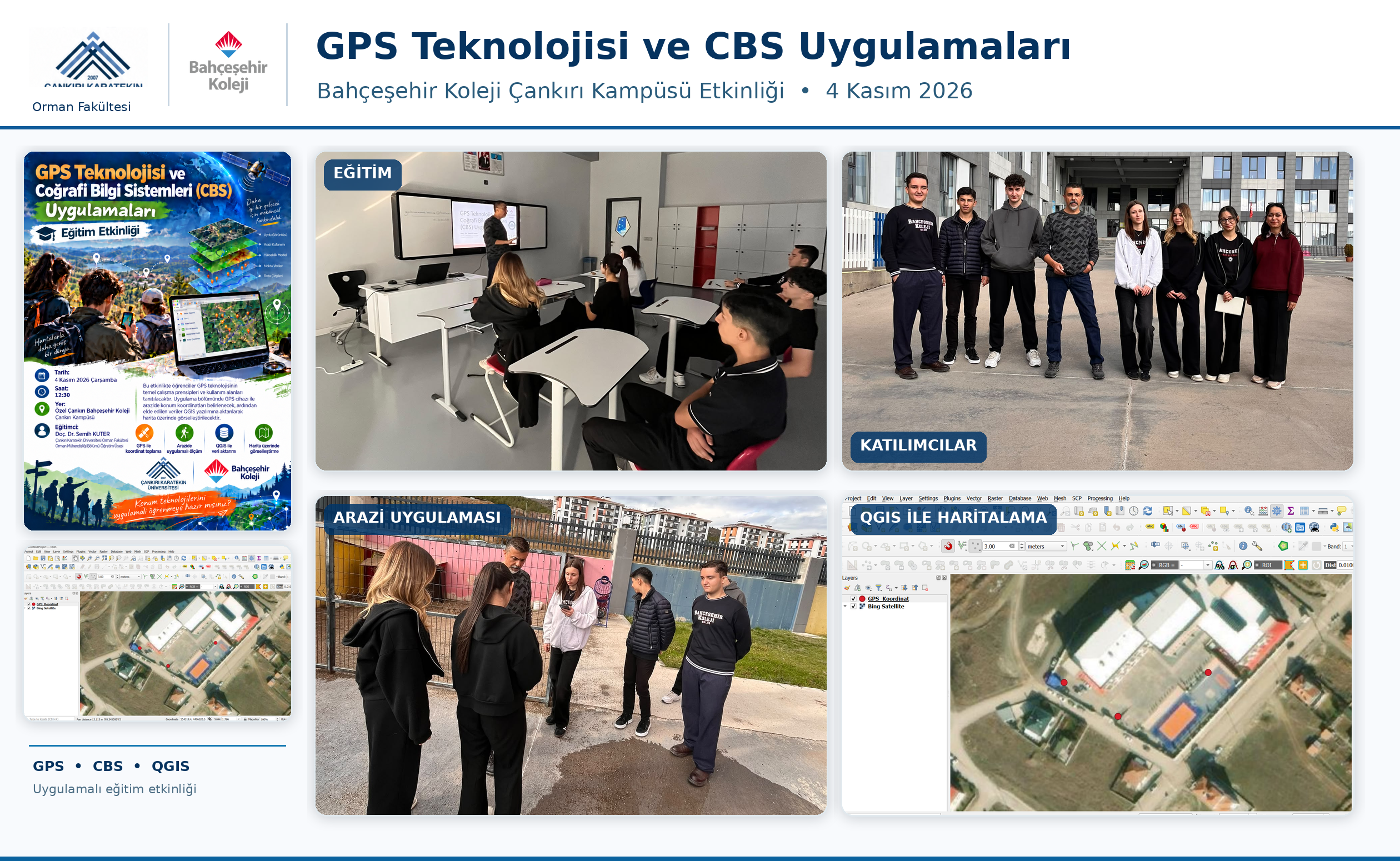
Assoc. Prof. Dr. Semih KUTER, a faculty member of the Department of Forest Engineering at the Faculty of Forestry, Çankırı Karatekin University, conducted an educational event entitled “GPS Technology and Geographic Information Systems (GIS) Applications” at the Çankırı Campus of Bahçeşehir College on November 4, 2026.
Organized as part of the university's community engagement activities, the event introduced students to the fundamental working principles of GPS technology, satellite-based positioning systems, and the wide range of applications of geographic information systems in everyday life and scientific research.
Combining theoretical knowledge with hands-on activities, the event provided students with an opportunity to collect geographic coordinates in the field using GPS devices. The collected data were then transferred to QGIS software and visualized on digital maps. Through these activities, students gained practical experience in the entire process of geographic data collection, processing, and mapping.
The event aimed to increase students' knowledge and awareness of positioning technologies, satellite systems, and geographic information systems while encouraging their scientific curiosity and interest in real-world technological applications.
The event also contributed to strengthening knowledge sharing and cooperation between the university and educational institutions, allowing students to explore the practical applications of modern geospatial technologies.


